What you’ll learn
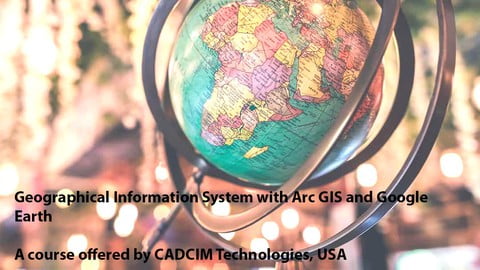
- In this course the student will learn the basic introduction to GIS and ArcMap . Further learn how to create File Geodatabase and Feature Class. And also learn digitize the the image in ArcMap
Who this course is for:
- Civil Engineers, Architects, Developers, Geography Students, GIS Engineers, GIS Professionals, and students who wants to learn GIS
How to Enroll Geographical Information System with Arc GIS & Google Earth course?
How many members can access this course with a coupon?
Geographical Information System with Arc GIS & Google Earth Course coupon is limited to the first 1,000 enrollments. Click 'Enroll Now' to secure your spot and dive into this course on Udemy before it reaches its enrollment limits!


